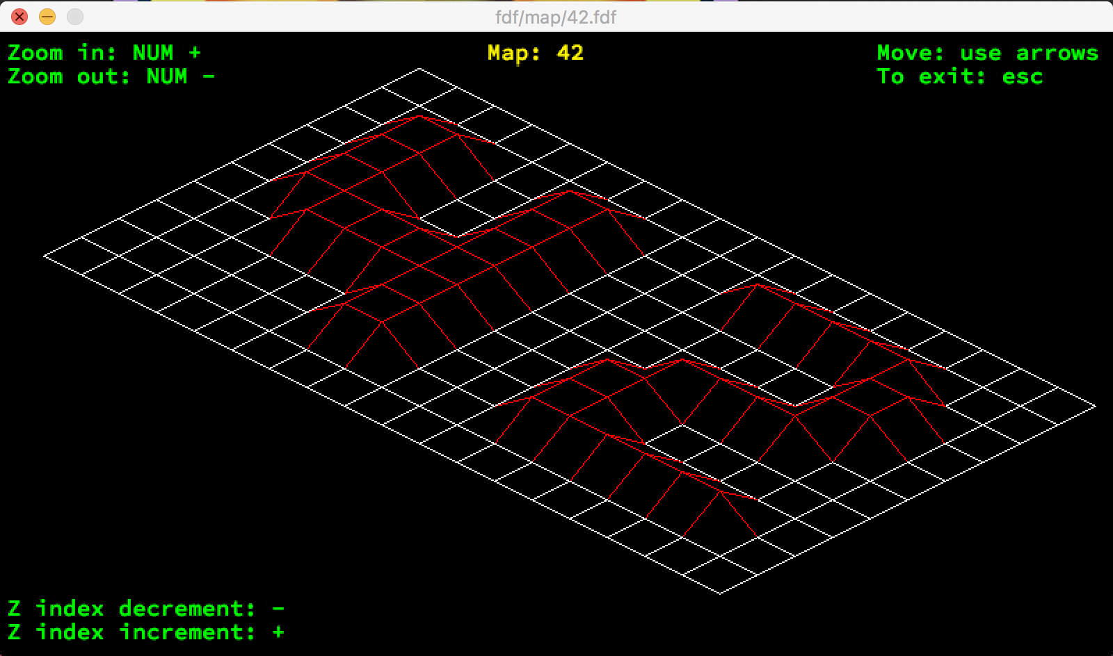
This project is about creating a simplified graphic “wireframe” representation of a relief landscape linking various points (x, y, z) via segments. The coordinates o f this landscape are stored in a file passed as a parameter.
Easy start
make
./fdf map/42.fdf
or add your own map into the folder